

- Home
 Emrys Architects’ plans to turn listed building in City into apartments gets green light
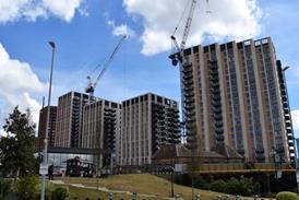 Output decline slows but PMI index stays in red for 18th successive month
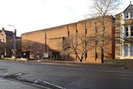 Welsh government grants grade II status to three post-war buildings at the University of Cardiff
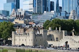 Major schemes ‘at risk’ as government delays future development plan, City says
- Events

Early bird tickets available now
Find out more
Events calendar
Explore now
Keep up to date
Find out more
- Programmes
Tomorrow the world
By David Littlefield and David Littlefield David Littlefield David Littlefield2006-05-19T00:00:00

Source: ©2005 Google Earth
Collaborations with Google Earth are beginning to give architects, clients and even the public unprecedented ability to test-drive new schemes in virtual neighbourhoods
This is premium content.
Only logged in subscribers have access to it.
Login or SUBSCRIBE to view this story

Existing subscriber? LOGIN
A subscription to Building Design will provide:
- Unlimited architecture news from around the UK
- Reviews of the latest buildings from all corners of the world
- Full access to all our online archives
- PLUS you will receive a digital copy of WA100 worth over £45.
Subscribe now for unlimited access.
Alternatively REGISTER for free access on selected stories and sign up for email alerts
- © Building Design 2023
- Terms and Conditions
- Cookie Policy
- Privacy Policy
- About BD
- Contact BD
- Advertise
Site powered by Webvision Cloud